Observation-Based Estimates of Eulerian-Mean Boundary Downwelling in the Western Subpolar North Atlantic

Abstract
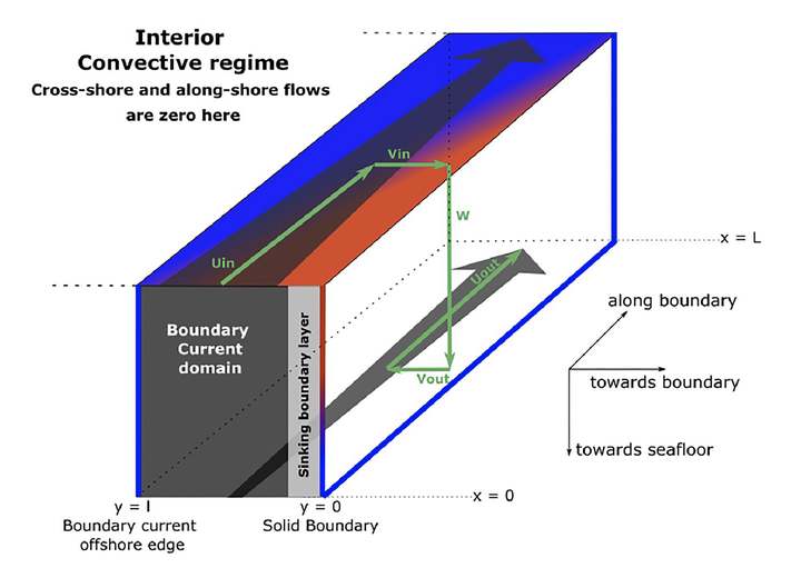
A significant fraction of the Eulerian-mean downwelling feeding the lower limb of the Atlantic Meridional Overturning Circulation (AMOC) occurs along the subpolar North Atlantic continental slopes and is maintained by along-boundary densification and large-scale geostrophic balance. We here use Argo and shipboard hydrography data to map the 2002–2015 long-term mean density field along the boundary via a dedicated optimal interpolation tool. The overall downstream densification implies an Eulerian-mean downwelling of 2.12 ± 0.43 Sv at 1100 m depth between Denmark Strait and Flemish Cap. A clear regional pattern emerges with downwelling in the Irminger Sea and western Labrador Sea and upwelling along Greenland western continental slope. Comparisons with independent cross-basin estimates confirm that vertical overturning transport across the marginal seas of the subpolar North Atlantic mainly occurs along the continental slopes, and suggest the usefulness of hydrographic data in providing quantitative information about the sinking branch of the AMOC.